

1
of
5
Loading...
CHCNAV | SKU:
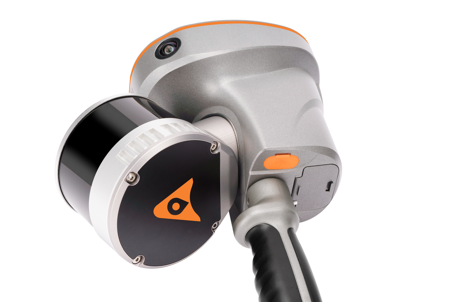
RS10 HANDHELD SLAM 3D
$0.00
Unit price
/
Unavailable
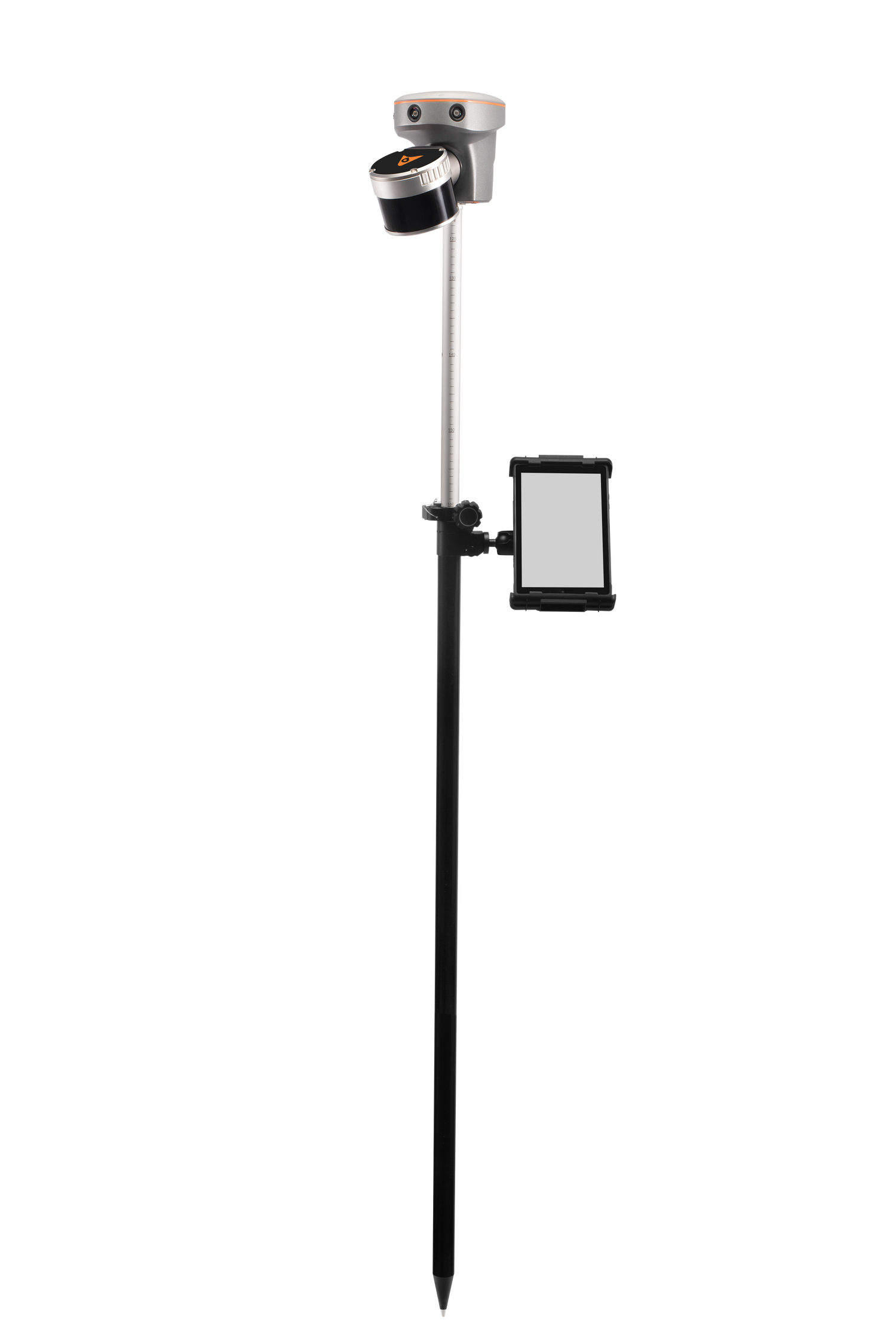
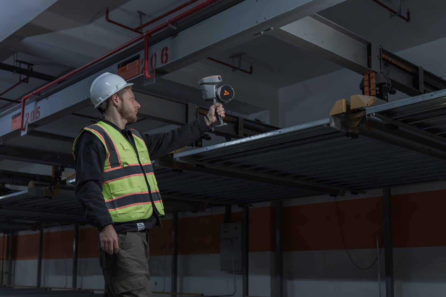
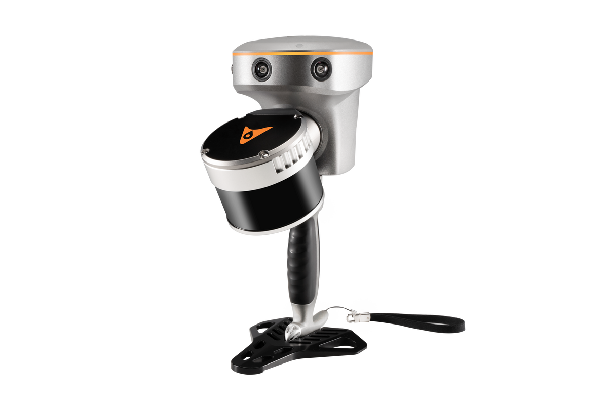
The RS10 brings a new approach to geospatial surveying by integrating GNSS RTK, laser scanning and visual SLAM technologies into a single platform designed to improve the efficiency and accuracy of indoor and outdoor 3D scanning and surveying tasks. The RS10 is a versatile solution for surveying, civil engineering and BIM professionals, as well as for
applications such as agricultural and forestry surveying, power line inspection, material pile volume calculation and data collection in underground spaces. With the RS10, surveyors are able to overcome the challenges of surveying in areas with poor or no GNSS signals, bringing a new level of flexibility and accuracy to their work. By supporting both traditional GNSS RTK surveying and innovative 3D reality capture, the RS10 simplifies fieldwork and improves data reliability.
applications such as agricultural and forestry surveying, power line inspection, material pile volume calculation and data collection in underground spaces. With the RS10, surveyors are able to overcome the challenges of surveying in areas with poor or no GNSS signals, bringing a new level of flexibility and accuracy to their work. By supporting both traditional GNSS RTK surveying and innovative 3D reality capture, the RS10 simplifies fieldwork and improves data reliability.
RS10 SLAM features
Innovative surveying SLAM solution.
RS10 Handheld SLAM 3D Scanner
Handheld SLAM3D laser scanner + GNSS RTK System

