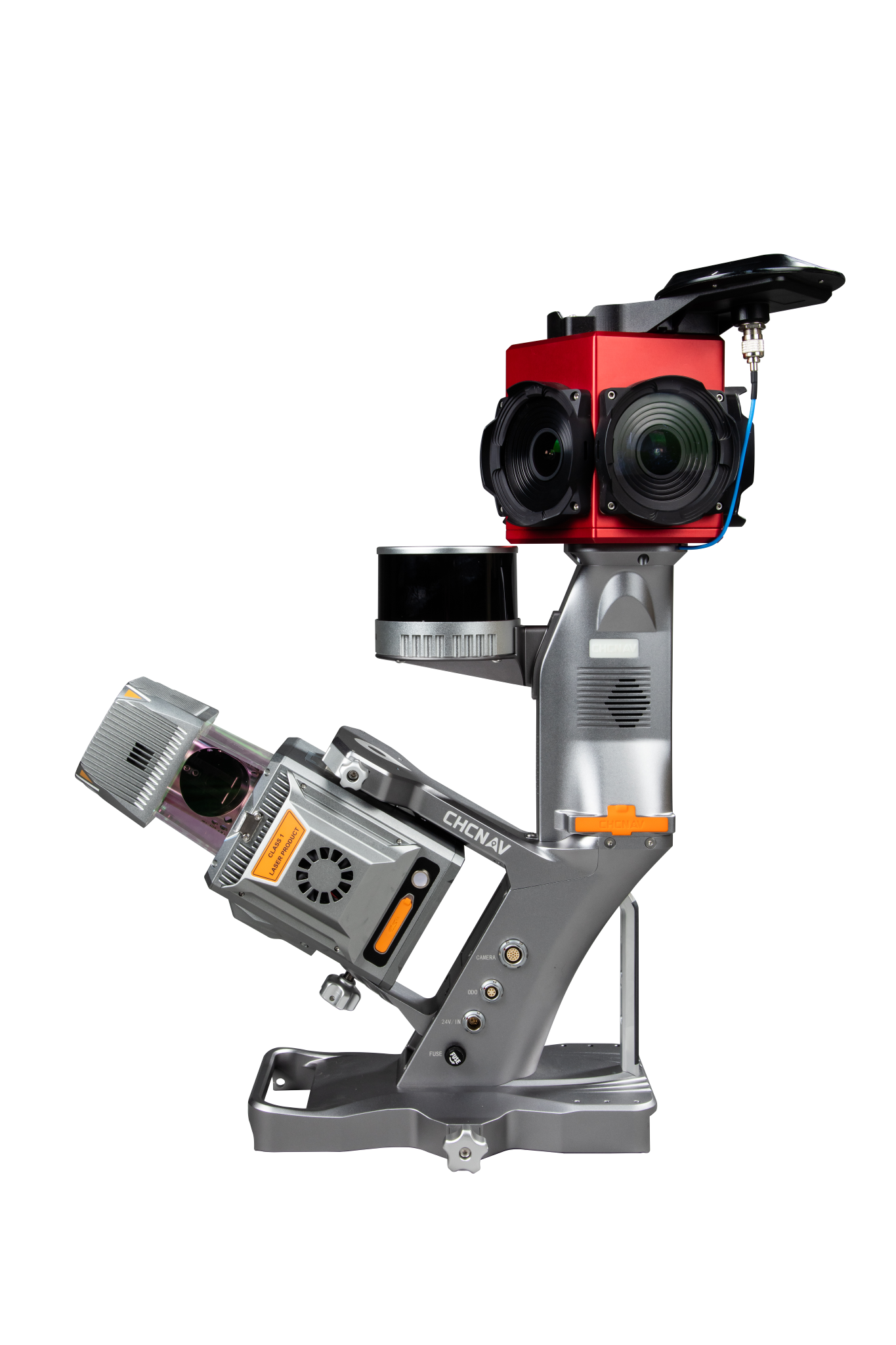

AlphaUni 20
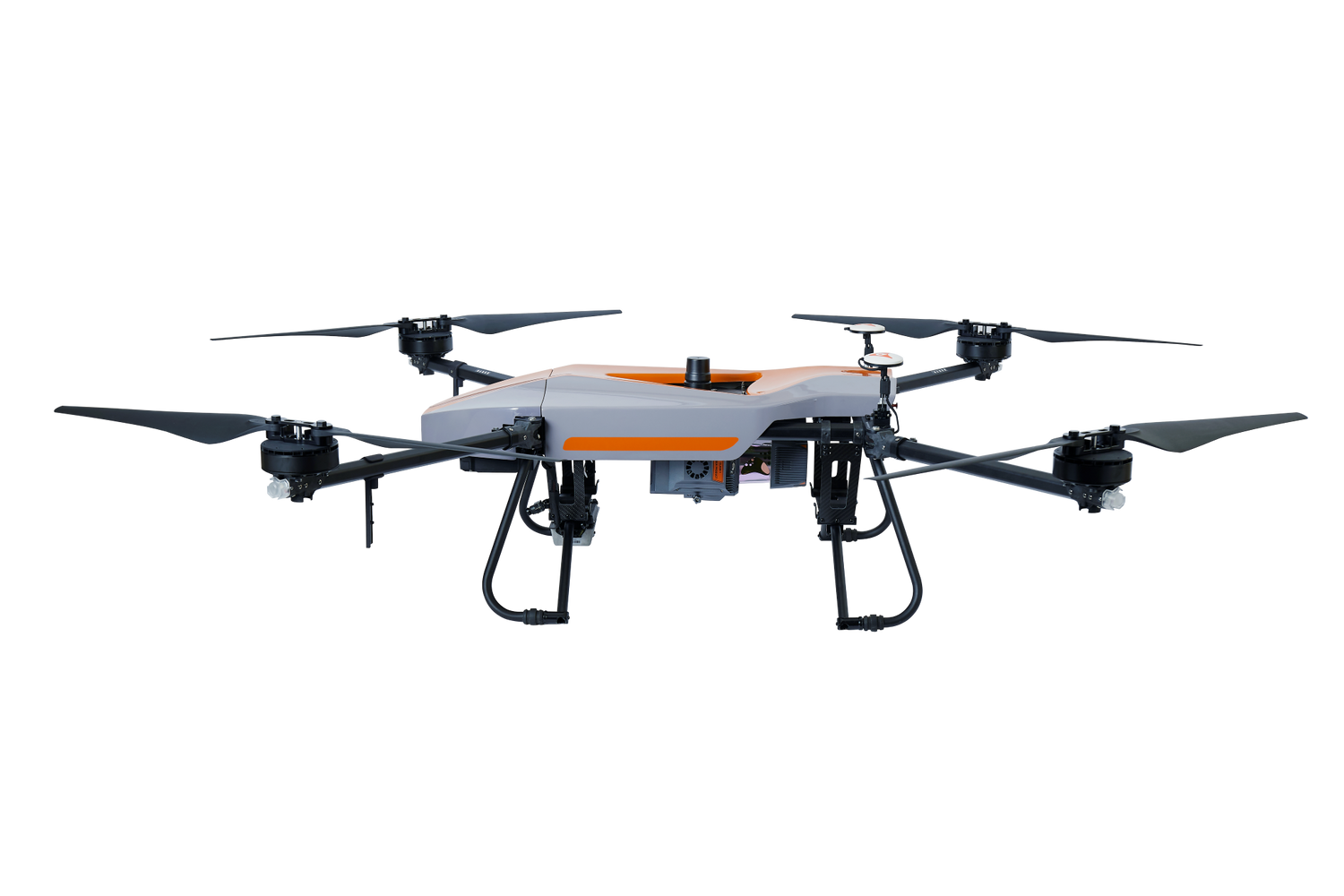
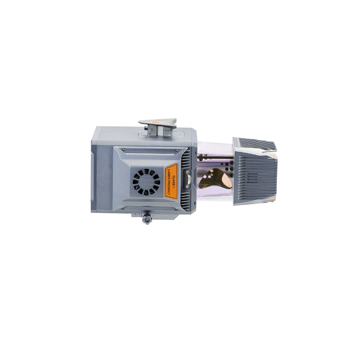
The AlphaUni 20 (or AU20) is a cost-effective, multi-platform mobile mapping system of premium class. As a result of six years of innovation and product development, it harnesses the power of CHCNAV's state-of-the-art LiDAR technology. The AU20 excels in airborne scenarios, delivering superior data and increasing survey efficiency through its exceptional vegetation penetration capability, extended measurement range, high accuracy, and data density.
With its unique and flexible installation design complemented by CHCNAV's LiDAR technology, the AU20 achieves the perfect balance of point cloud density, accuracy, and quality. The system enables precise point cloud and immersive panoramic imagery tailored for various applications, including road surfaces, highway maintenance, and asset management through vehicle-based surveying.
The AU20 is redefining mobile mapping, democratizing the reality capture industry, and making it accessible to all geospatial professionals.
+UAV is not included
AlphaUni 20 is backordered and will ship as soon as it is back in stock.
AlphaUni 20 features
Multi-platform high-end LiDAR solution for mapping and geospatial
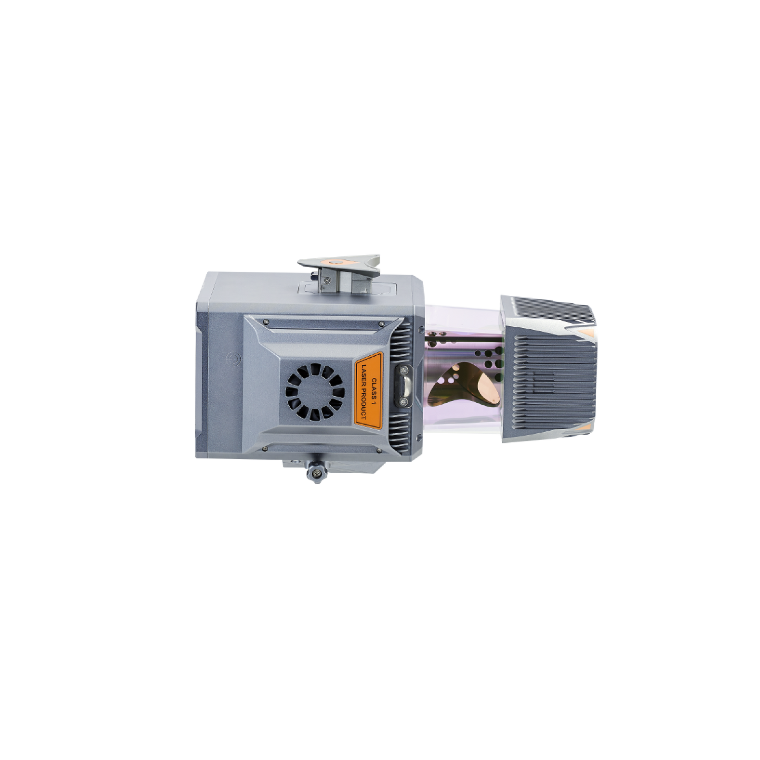
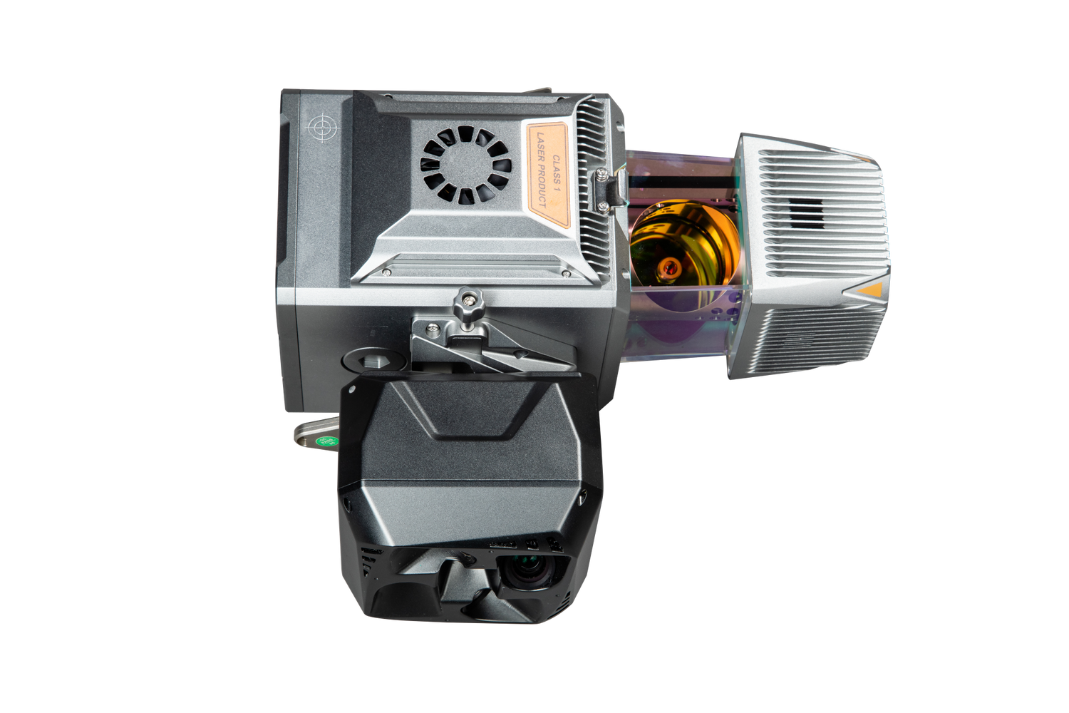
AlphaUni 20 LiDAR
A cost-effective and multi-platform mobile mapping system

