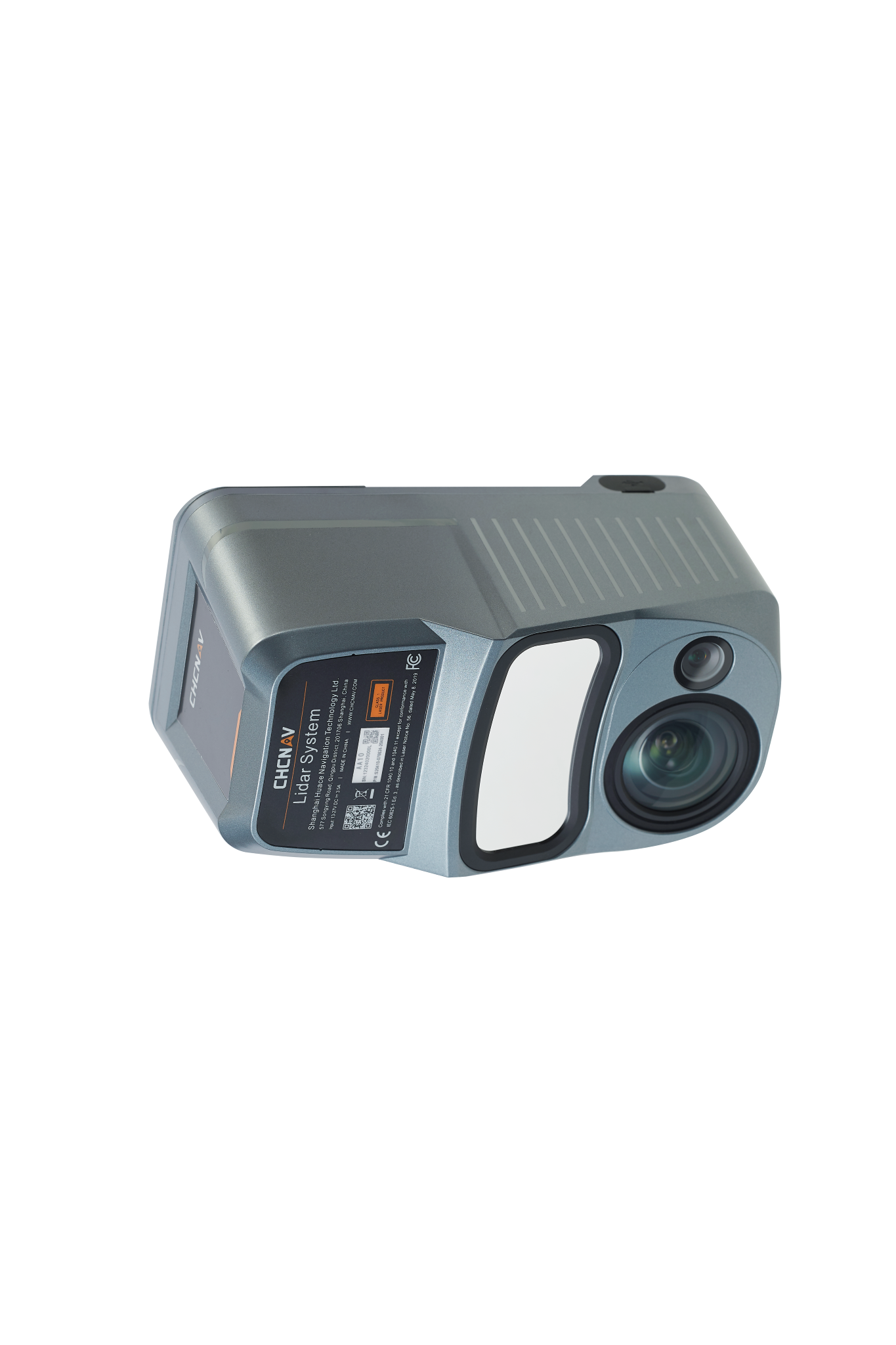
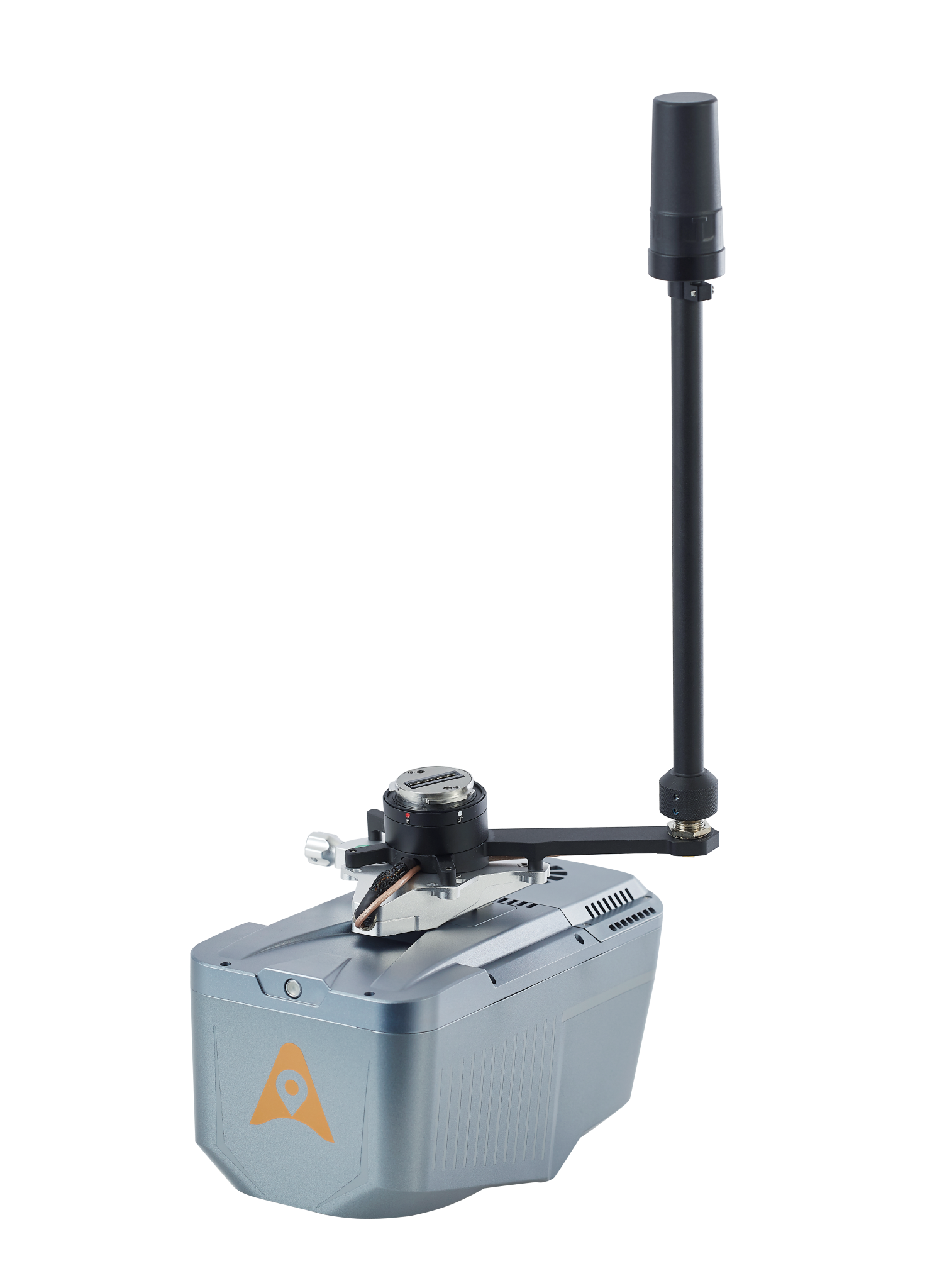
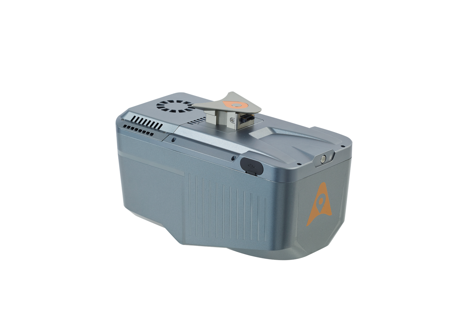
AlphaAir 10
The AlphaAir 10 (or AA10) is an advanced aerial surveying solution that seamlessly integrates LiDAR and RGB sensors to meet the needs of professional UAV LiDAR mapping and drone photogrammetry.
Leveraging CHCNAV's cutting-edge LiDAR technology, the AA10 flawlessly integrates high-precision LiDAR, accurate GNSS positioning, IMU orientation, and an industrial-grade full-frame orthophoto camera. Combined with CHCNAV point cloud and image fusion modeling software, the AA10 provides a survey-grade, efficient, and cost-effective approach to 3D data acquisition and processing.
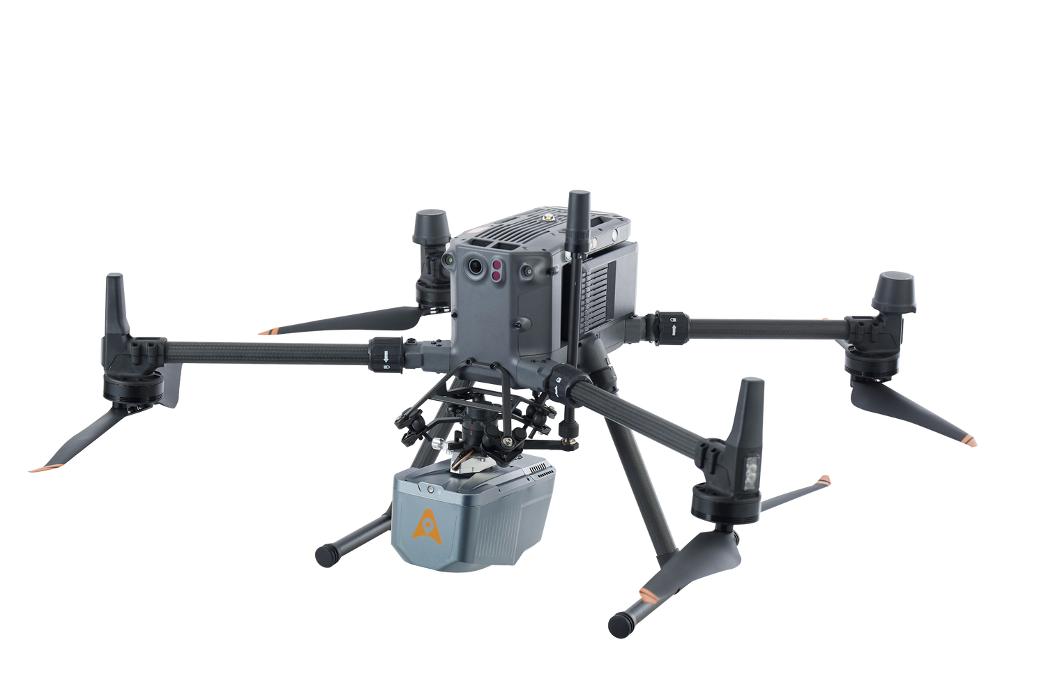
The AA10 Airborne LiDAR + RGB System accelerates accurate 3D data collection within a single mission and simplifies the process of capturing 3D reality through a streamlined workflow.
*UAV is not included
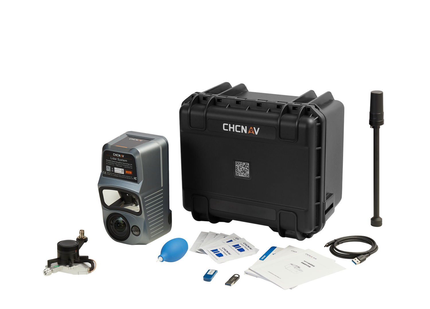
AlphaAir 10 features
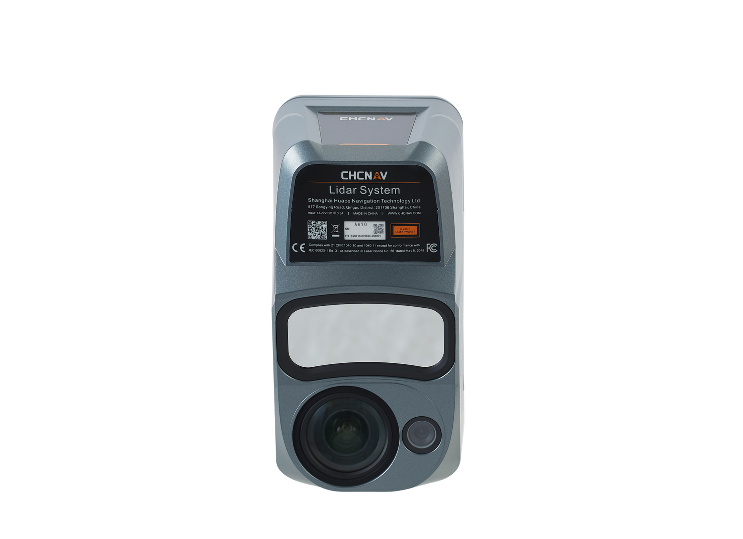
Professional airborne LiDAR + RGB system
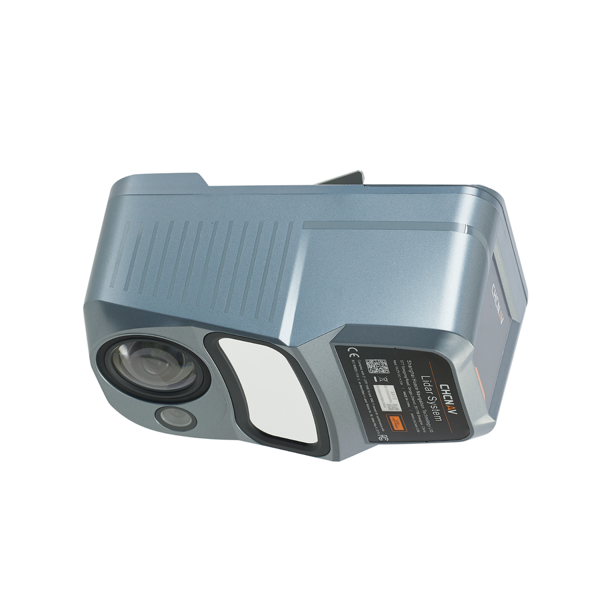
LiDAR AlphaAir 10
An advanced aerial surveying solution that seamlessly integrates LiDAR and RGB
sensors.